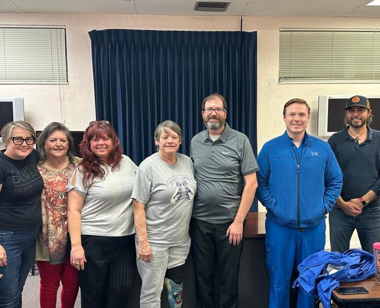
| Harris Park Neighborhood Association Meeting Monday, April 14 7 p.m. at Cooke Real Estate School (above Stone Soup Cafe) |
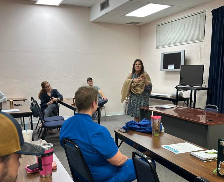
| Guest Speakers: St. Pete Police Department St. Pete Fire & Rescue: hurricane safety Agenda Items: Committees! Our neighborhood association is run entirely by volunteers who live right here in Harris Park. Are you interested in getting more involved, in an area of community engagement that interests you? Maybe that’s the welcome wagon, or the safety committee. Maybe you want to help with social media and outreach. We’re assembling committees to focus on different areas in our neighborhood association. |
January 2025 Notes & Election
The Harris Park Neighborhood Association met Monday, Jan. 13, 2025 at 7 p.m. at Cooke Real Estate School for the first meeting of the year.
In attendance on the outgoing board were: Jessica S., President; Albert N., Vice President; and at-large members Dave P., Miles B., and Beth C.
There were approximately 12 neighborhood members in attendance.
Guest speakers included Officer Richard Van with the St. Petersburg Police Department; three representatives of the St. Pete Fire & Rescue Department; and Lisset Hanewicz, District 4 City Council Member.
Officer Van did not have any major crimes in the area to report, with the exception to theft from unlocked vehicles. Criminal activity can be reported to the police department via the nonemergency number 727-893-7780 (or 911 in an emergency). Code violations should be reported using See-Click-Fix with the City of St. Petersburg Code Enforcement Department.
Council Member Lisset introduced her new aide, Elisabeth Moore, and reviewed the city’s recovery from Hurricanes Helene and Milton, as well as updated the neighborhood on the latest developments in the Historic Gas Plant District/Rays Hines Tropicana deal.
The city is holding a Public Services and Infrastructure Meeting Feb. 13 to discuss hurricane/flooding issues and projects. The main agenda topics are as follows:
• An Update on the City’s Wastewater Collection Facilities and the Capital Projects Identified (funded and not funded) to Address the Natural Hazards Associated with the Three Facilities, and
• A Discussion Regarding Construction Crane Safety.
The meeting will be recorded. For more information, click here.
Elections were held following guest speakers to establish the 2025 board.
Sharon R. and Jessica S. tied for president. Jessica conceded the role, and Sharon became the 2025 president. The following officers ran uncontested: Albert N., Vice President; Miles B., Treasurer; Eileen C., Secretary; and at large: Dottie F., Dave P., Birdie D., Beth C. Jessica S. took on a vacant at-large position following the contest for president.
The meeting was then adjourned.
There will be a Harris Park Hangout – a casual neighborhood get together without agenda, guest speaker, or business items – Monday, Feb. 10, 7 p.m. at Stone Soup Cafe.
The next general meeting will be Monday, April 14, 7 p.m. Cooke Real Estate School, 4130 16th St N, St. Petersburg (the office area above Stone Soup Cafe). Agenda and guest speakers will be announced via email and Facebook prior to the meeting.
Stormwater Floodplain Changes in Harris Park
Earlier this spring, some neighbors in our community received a postcard from the City of St. Petersburg letting us know that the city is updating its Stormwater Master Plan, and as part of that some areas are proposed to be included in new floodplain maps. You can view an interactive map HERE to see if your property is included in the proposed floodplain map changes. The city is actively seeking feedback. If you don’t experience flooding, but you know other parts of your street do and are not included in the proposed changes, provide feedback and learn more HERE.
The city hosted a virtual infosession to walk through the proposed changes and answer questions. If you missed the meeting and want to read through the presentation, you can do so HERE.
Here are our key takeaways from the city’s infosession:
Why is the city updating the floodplain maps?
Updating the stormwater floodplain maps is part of a larger project to update the Stormwater Master Plan. This plan is designed to help the city identify and prioritize utility projects that address stormwater mitigation. The master plan includes considerations for 2050 sea level rise predictions, resiliency, and sustainability.
Will my insurance rate be impacted?
Changes to the stormwater floodplain maps will not cause insurance rates to go up. Insurance rates are based on FEMA flood maps. Harris Park is not located in a FEMA floodzone, however, some of our streets do experience localized flooding during rain events. Proposed stormwater updates could positively affect the city’s Community Rating with FEMA, and could potentially result in better insurance rates in the future.
Will utility rates be impacted?
The proposed changes do not include changes to utility rates. Utility rates are assessed annually by the city for changes and are based on the amount of impervious surface on your property, which is how much runoff your property contributes to the stormwater system.
Harris Park Meeting: 5.9.22 Notes
Crime Watch:
- No major concerns to report.
- We will have a new Community Service Officer beginning 6/1, Officer Richard Van
- As always, here are your resources (make sure to use them so all incidents are documented!)
- Emergency: 911
- Patrol (non-emergency): 727-893-7780
- Community service (needs attention/documentation, but not urgent): 727-551-3182
- For the latest crime information, check out the stat map on police.stpete.org.
Treasurer’s Report:
- In lieu of PayPal, we have set up Zelle to electronically collect member dues (which enable you to be a voting member of HPNA.) To use Zelle, add HPNA to your Zelle contacts using our email address: harrisparkneighborhood@gmail.com
- SPECIAL OFFER: If you have not yet paid your 2022 dues, submit them by June 1, 2022 and enjoy a prorated rate of 50% off!
- $7.50 per individual
- $10 per household
- SPECIAL OFFER: If you have not yet paid your 2022 dues, submit them by June 1, 2022 and enjoy a prorated rate of 50% off!
- If you are not comfortable paying electronically, you can mail your check to the treasurer, postmarked by June 1:
- Chase Wilsey
- 4117 Queen St N
- St Petersburg, FL 33714
Old Business
- Mural Project – in progress, pending more details on permissions and funding options
- Fall Festival – New date for neighborhood event is October 8, 2022. This is replacing the ‘Spring Fling.’ Neighbors can expect a bicycle rodeo, games, and more!
- Neighborhood Walk (Healthy St. Pete) – Held the 4th Saturday of each month. We will be looking into combining our monthly neighborhood walks with our Keep Pinellas Beautiful neighborhood clean ups. Next walk is May 28 at 9am.
- Neighborhood ‘Snipe’ Signs – in progress, pending finalized design and printing (to be used to advertise meetings and how to get involved)
New Business:
- Tabling at Kiwanis Park – “Ask us about HPNA!” to gather interest in the association. Dates TBD – championed by President Jess Salmond.
Remaining 2022 Meetings:
- Monday, Sept. 12, 2022, 7 p.m.
- Monday, Nov. 14, 2022, 7 p.m.
March 03.14.22 Meeting Notes
Attendees:
President, Jessica Salmond
Treasurer, Chase Wilsey
Secretary, Jess Small
Board members, Beth Cooke, David Holler and Katie Vann
Elizebeth S., Korrie, Bob, S., Dave, Jillian.
There were no public comments.
St. Pete Police Department neighborhood report by Officer James Fuchs:
An unlocked commercial vehicle was burglarized earlier this year. Officer Fuchs reminds everyone to lock their vehicles and remind any workers coming to their property to also lock their vehicles.
Treasurers Report: Chase Wilsey reported a balance of $674.36.
Old Business:
The neighborhood cleanup in partnership with Keep Pinellas Beautiful was successful. Members agreed that their neighborhood adoption program (four events a year) would be worthwhile and approved moving forward with their program.
New Business:
Spring Fling event: due to conflicting neighborhood events, the Spring Fling event was approved to move to the fall so that the city can participate with a bike rodeo, and the police department can bring emergency vehicles. The board also hopes to work with the Kiwanis Club to be involved in the event.
Mural project: The city parks department will need to approve of the mural project before we can move forward to apply for the city grant.
Get Fit St. Pete: Jess Small is leading a partnership with Get Fit St Pete to get our neighborhood involved in this city-wide initiative.
Harris Park Meeting: 1.10.22 notes
Know a neighbor who wants to receive Harris Park emails? Fill out this online form to sign up for our list!
HPNA Meeting – January 10, 2022
Officer Report:
- Since our last meeting, there was only 1 vehicle burglary and 2 residential burglaries reported.
- Overall, things have been quiet and there are no major concerns to report.
- As always, here are your resources (and make sure to use them so all incidents are documented!)
- Emergency: 911
- Patrol (non-emergency): 727-893-7780
- Community service (needs attention/documentation, but not urgent): 727-551-3182
- For the latest crime information, check out the stat map on police.stpete.org.
2022 Officer/Board Elections Results:
- President – Jessica Salmond
- Vice President – Judy Landon
- Treasurer – Chase Wilsey
- Secretary – Jessica Small
- 2022 Board –
- Beth Cooke
- David Holler
- Katie Vann
General Meeting:
- We have a new website, created by Jessica Salmond. If you have ideas for the website content, let her know! The link to the website is harrisparkstpete.com
- February Neighborhood Cleanup Event:
- We are planning a neighborhood clean up for February 19, 2022. Jessica Salmond will work with Keep Pinellas Beautiful to coordinate supplies, waivers, etc.
- We plan to put up signs to advertise, if possible.
- More details will be sent out via email and Facebook.
- Spring Fling Event:
- We are planning to bring back the Spring Fling event on April 2, 2022 from 12:00 noon – 4:00pm
- We anticipate participation from SPPD K9 unit, the fire department, and more.
- We would like to include additional organizations like Kiwanis, Get Fit St. Pete, and youth-focused social service providers.
- To-Do Items: reserve pavilion/tables through parks department (Judy), secure mini-grant and coordinate with Susan Ajoc for Parks Dept. permit (Jessica Salmond), coordinate kids vs parents activity such as kickball or volleyball to generate interest (Jessica Riva)
- Additional topics of discussion:
- Driveway/ porch party to meet our neighbors
- Gadgets for Good
- Healthy St. Pete Fitness Classes in the Park – neighborhood wellness champion opportunity (Jessica Small to coordinate)
- CareFest in March – could organize another clean up, donation drive, or other neighborhood project
- October ‘boo’ game for the kids
- Movie in the Park – would need permit and park staff (using electricity) – could be a mini-grant opportunity. Touch base with Magnolia Heights Neighborhood Assoc. for advice. (Jessica Salmond to coordinate)
- City Guide/Directory (Susan Ajoc to look into exisiting resources and coordinate with Jessica Salmond)
- City Council District 4 Update – Invite Council Member Hanewicz to our next meeting to introduce (Jessica Salmond to reach out)
- Mural:
- Letter of approval must be updated if it does not specify logo usage
- Jessica Salmond and Jessica Small to work on artist quotes and grant plan
- Reach out to Kiwanis organization to see if they would like to be involved in project, contribute, etc.
Upcoming 2022 Meetings:
- Monday, March 14, 2022, 7 p.m.
- Monday, May 9, 2022, 7 p.m.
- Monday, Sept. 12, 2022, 7 p.m.
- Monday, Nov. 14, 2022, 7 p.m.
Harris Park Meeting: 11.15.21 notes
Know a neighbor who wants to receive Harris Park emails? Fill out this online form to sign up for our list!
HPNA Meeting – November 15, 2022
Neighborhood Patrol Officer Report
- Reviewed reports from September 15 through November 15 and there were no significant findings. The neighborhood has been relatively quiet with no major incidents.
- Vehicle burglaries/auto theft reports are declining, but be sure to remind non-residents (such as contractors servicing your home) to lock their cars, too!
- Prostitution complaints are mainly near Angelo’s Mini Mart on Haines.
- If you or someone you know witnesses an incident, call patrol so that it is formally documented. This is the best thing we can do to ensure problem resolution!
- Emergency: 911
- Patrol (non-emergency): 727-893-7780
- Community service (needs attention/documentation, but not urgent): 727-551-3182
Future projects/events discussion
- Neighborhood clean-ups
- Adopt An Alley: We can clean up our neighborhood AND get volunteer hours that we can match for a city grant (for the mural)
- VP, Jessica, will reach out to Keep Pinellas Beautiful for more information. Will need waivers signed, sign in sheets to track dates, hours, attendees.
- Planting Native Plants at Kelly Lake
- Another opportunity to get volunteer hours that we can put toward the city grant match (for the mural)
- Adopt An Alley: We can clean up our neighborhood AND get volunteer hours that we can match for a city grant (for the mural)
- Volunteer hours = $24 per hour per volunteer. VP, Jessica, will reach out to Susan Ajoc with City of St Pete for more details on procedure.
- Spring event/ bicycle rodeo may be back in 2022 – TBD
- We can apply for a mini-grant towards a neighborhood event, once per calendar year. Our neighborhood can participate in the Utility Bill Round Up to potentially get an additional mini-grant
- This holiday season, individuals in St. Pete are encouraged to donate to the City of St. Petersburg’s Utility Assistance Program for a chance to win a $500 mini-grant for their neighborhood. Those who donate will help their neighborhood while helping those in need. The Utility Assistance Program supports St. Pete utility customers who are having trouble with their utility costs. Funding to the program is based on donations and signing up to donate helps St. Pete families in need. The top three neighborhoods with the most enrollment in the Utility Assistance Program from Nov. 1, 2021 to Jan. 1, 2022 will win a $500 mini-grant for neighborhood events or activities. Winners will be announced by February 2022. Sign up here: https://www.stpete.org/residents/utilities/utility_assistance_program.php
- We can apply for a mini-grant towards a neighborhood event, once per calendar year. Our neighborhood can participate in the Utility Bill Round Up to potentially get an additional mini-grant
- Additional Information from Susan with City of St. Petersburg:
- Susan will coordinate with the City to have someone check the street name signs and stop signs for quality/reflectiveness
- We cannot place signs in Kiwanis Park, as they would be considered snipe signs. However, neighbors can put signs in their yard that encourage other neighbors to follow HPNA on Facebook, sign up for our emails, and attend our meetings.
- The city collects snipe signs and will give them to us to re-use (reprint our messages on them and save money!)
- The city will print door hangers for neighborhood associations once per year. VP, Jessica, is working on the upcoming door hanger to announce the 2022 HPNA meeting dates.
2022 HPNA Meeting Schedule – mark your calendars!Jan 10 – general meeting, 2022 officer elections; March 14 – general meeting; May 9 – general meeting; Sept 12 – general meeting; Nov 14 – general meeting
